Expedition record / Orange County, New York
Wallkill
Lead Mine
We brought an ROV to examine a deep winze. The mine gave us a different record of its workings.
Read the field record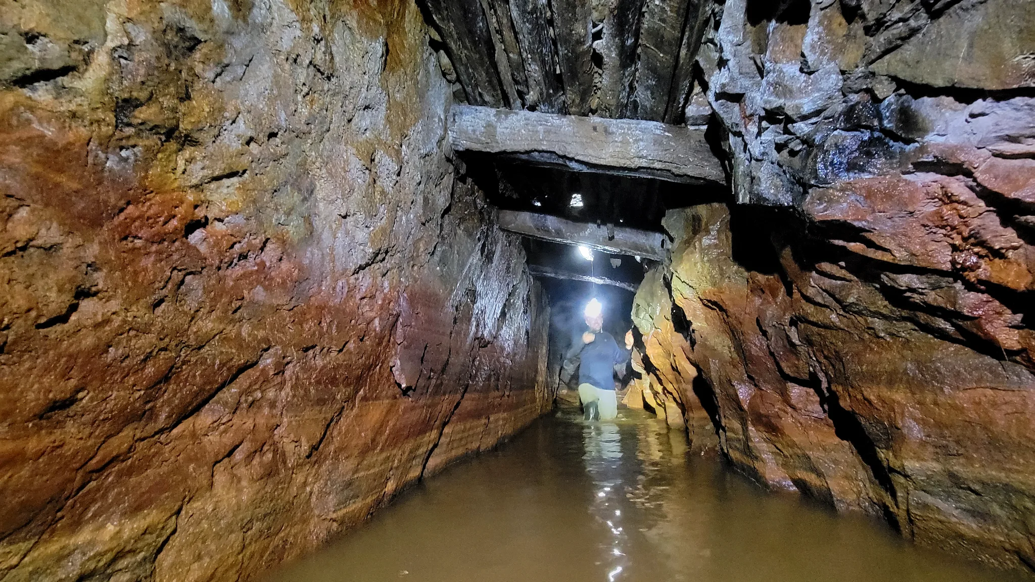
01 / The intended descent
The opening was there.
Mike Sandone’s research pointed to a winze, a shaft sunk from within a mine. The adit held water. He and Michael Girard visited Wallkill Lead Mine intending to send Robo-Teddy down into the flooded workings.
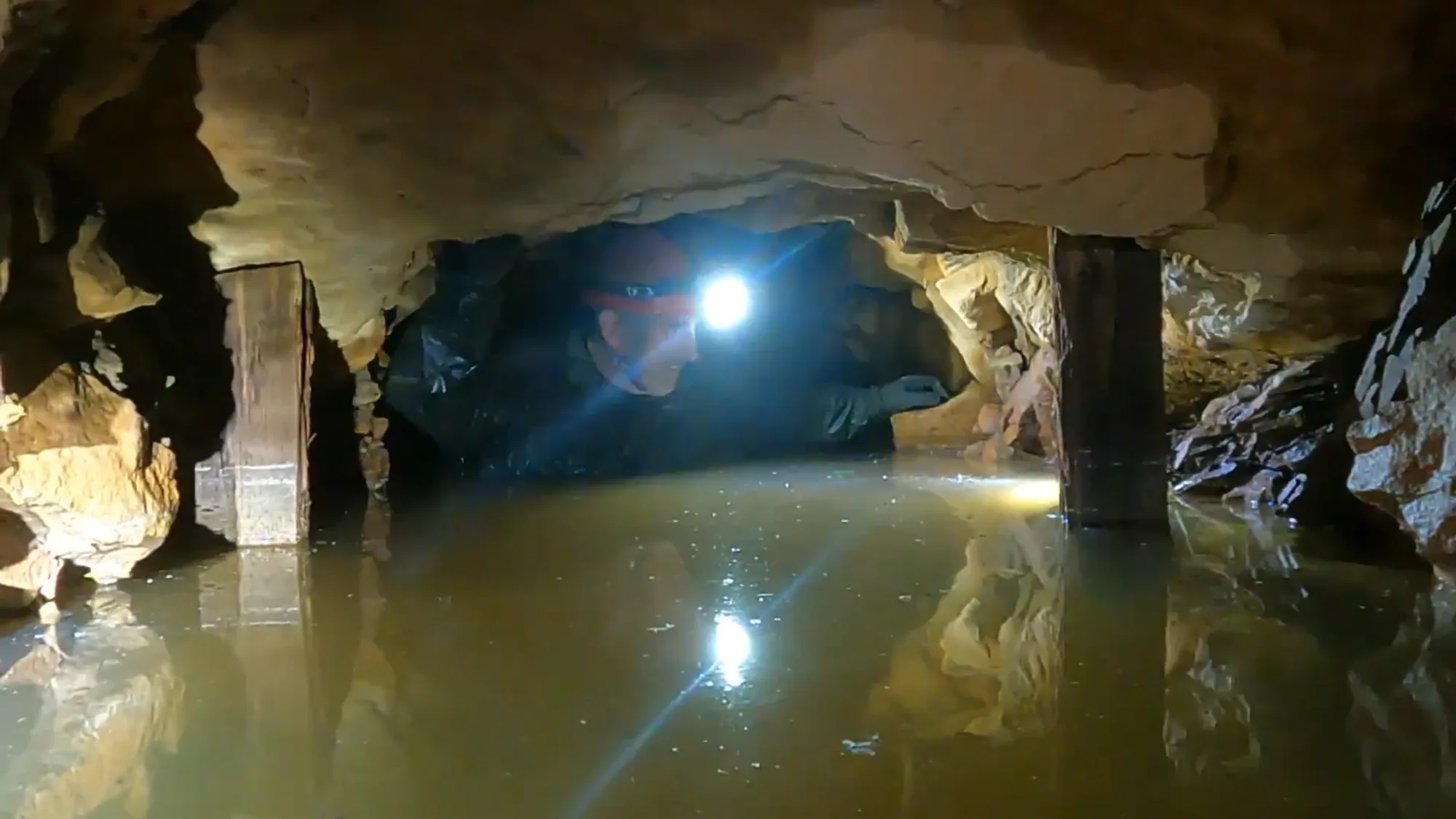
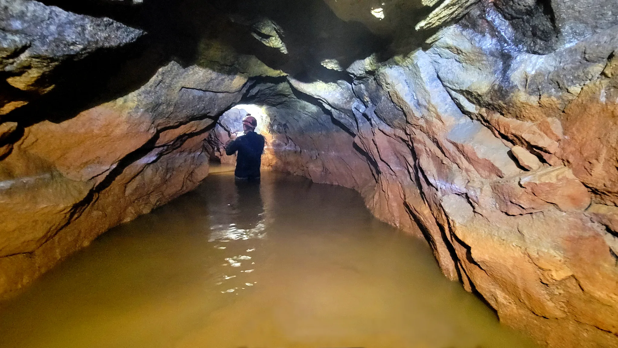
They entered in wetsuits, with water nearly to their necks. The 7°C water made them gasp on first immersion. As the adit rose inward, the water shallowed to about a foot. They examined surviving overhead timber and a door frame with its detached door nearby, then continued to the end of the accessible workings before returning to the winze.
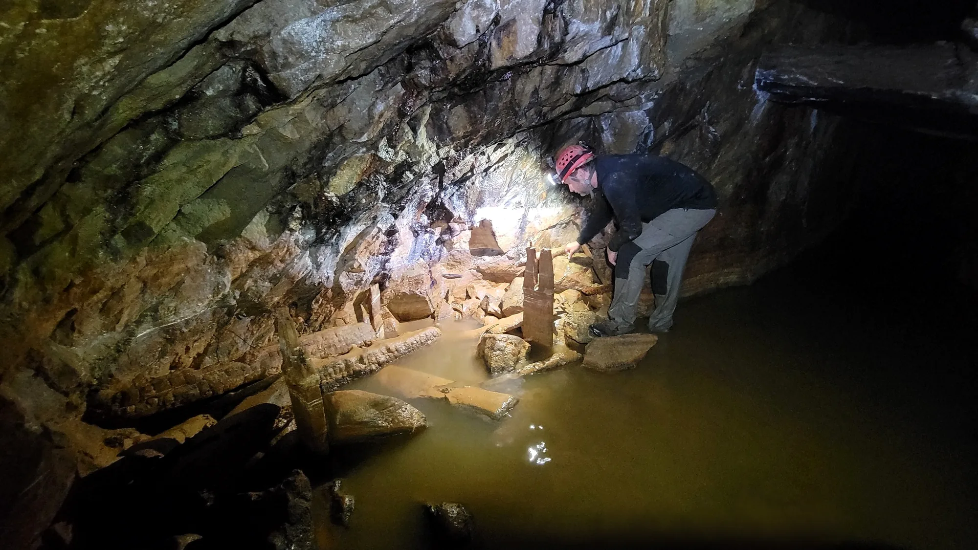
Large rocks covered the winze opening. They could confirm its position, but could not safely put the ROV through it or see how far the shaft continued. The stones may have been placed there to close off a hazard after mining ended; their purpose was not established during this visit. The intended underwater survey stopped at the surface.
02 / Above ground
Ore in the waste rock.
Back outside, they examined the mine’s tailings and found many pieces that appeared to contain galena, the lead-bearing mineral they had come to expect. Its visible abundance surprised them. Without sampling or assay, the field observation says little about the value of that material or how much lead or silver could be recovered from it.
A county history published in 1881 reports that the Wallkill Lead Company was incorporated in 1863, found good lead ore north of Guymard, and ceased work after a few years. Those records support a short period of historical mining here. The remaining timber, flooded passage, blocked winze, and mineral-bearing tailings show what this particular visit could still document.
What remains unknown
A depth still unseen.
The ROV never entered the winze, so this visit did not confirm its depth, its lower levels, or the extent of any submerged workings. Wallkill remains a useful field record precisely because that limit is clear: the old structures and ore were visible, while the shaft that drew the team there remained beyond observation.
Explore the ROV method ↗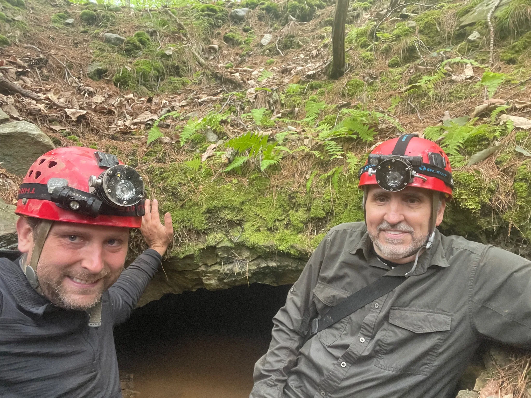
Sources & credits
Field sequence and interpretation supplied by Michael Girard and Mike Sandone. Photographs by both; see the image credits for each frame. The visit date has not yet been identified. Galena was identified visually in the field; no assay or production estimate is claimed here.
Historical context: Edward Manning Ruttenber and Lewis H. Clark, History of Orange County, New York (1881), p. 516 ↗. Its Wallkill Lead Company entry is distinct from accounts of nearby Guymard operations; figures attributed to those other mines are not used here. This page omits exact access details and the supplied coordinate-bearing terrain screenshot.