Expedition record / Putnam County, New York
Sunk
Mine
Three ROV visits to a flooded iron mine. The water concealed timber, distant passages, and questions an old plan could not settle.
Read the field record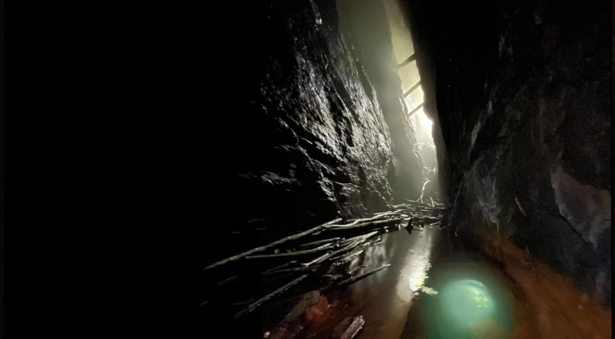
01 / The question
What did the water keep?
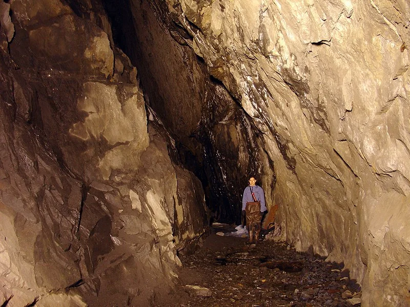
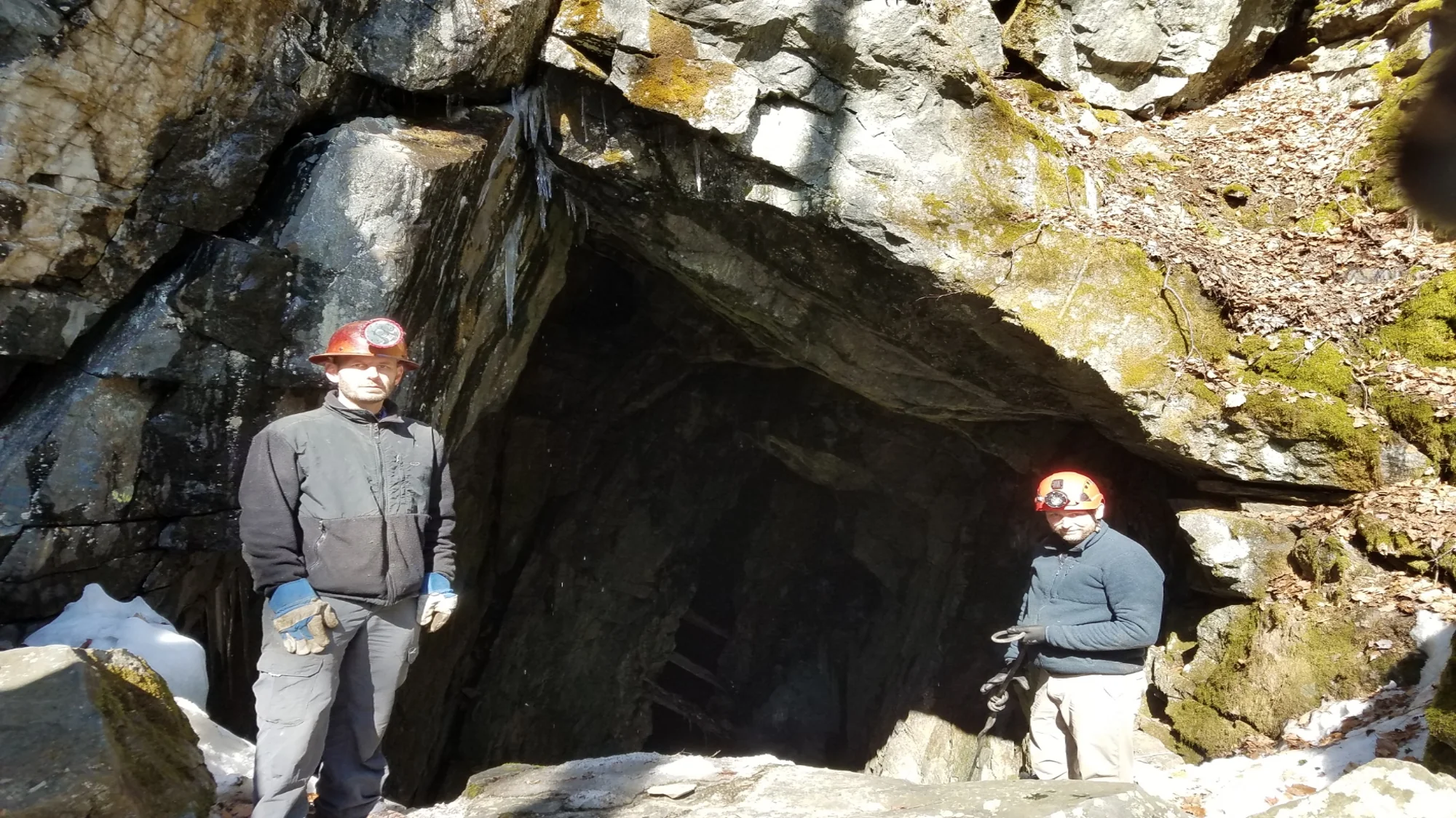
Mike Sandone had already seen Sunk Mine. Much of its long cut into the hillside lay underwater. He and Michael Girard returned with Robo-Teddy, a small remotely operated vehicle, to look for surviving traces and test the extent of the workings against older maps.
It was an iron mine with a long industrial life. Nineteenth-century accounts describe magnetite extraction in this part of Putnam County, horse-drawn ore transport, and Thomas Edison’s later attempt to dewater Sunk Mine as part of an ore-separation venture. Those records explain why the flooded void mattered: this had been an extensive, worked landscape, not merely an isolated pool in the rock.
Across three visits, Michael and Mike deployed the ROV each time. On the first they saw part of the submerged mine, but the cold water complicated the work. Robo-Teddy’s tether caught in old rope and the team nearly lost the vehicle. The obstruction made the limits of the method immediate: a camera can go where a person should not, but it still needs a recoverable route home.
02 / Below the surface
Timber in the deep.
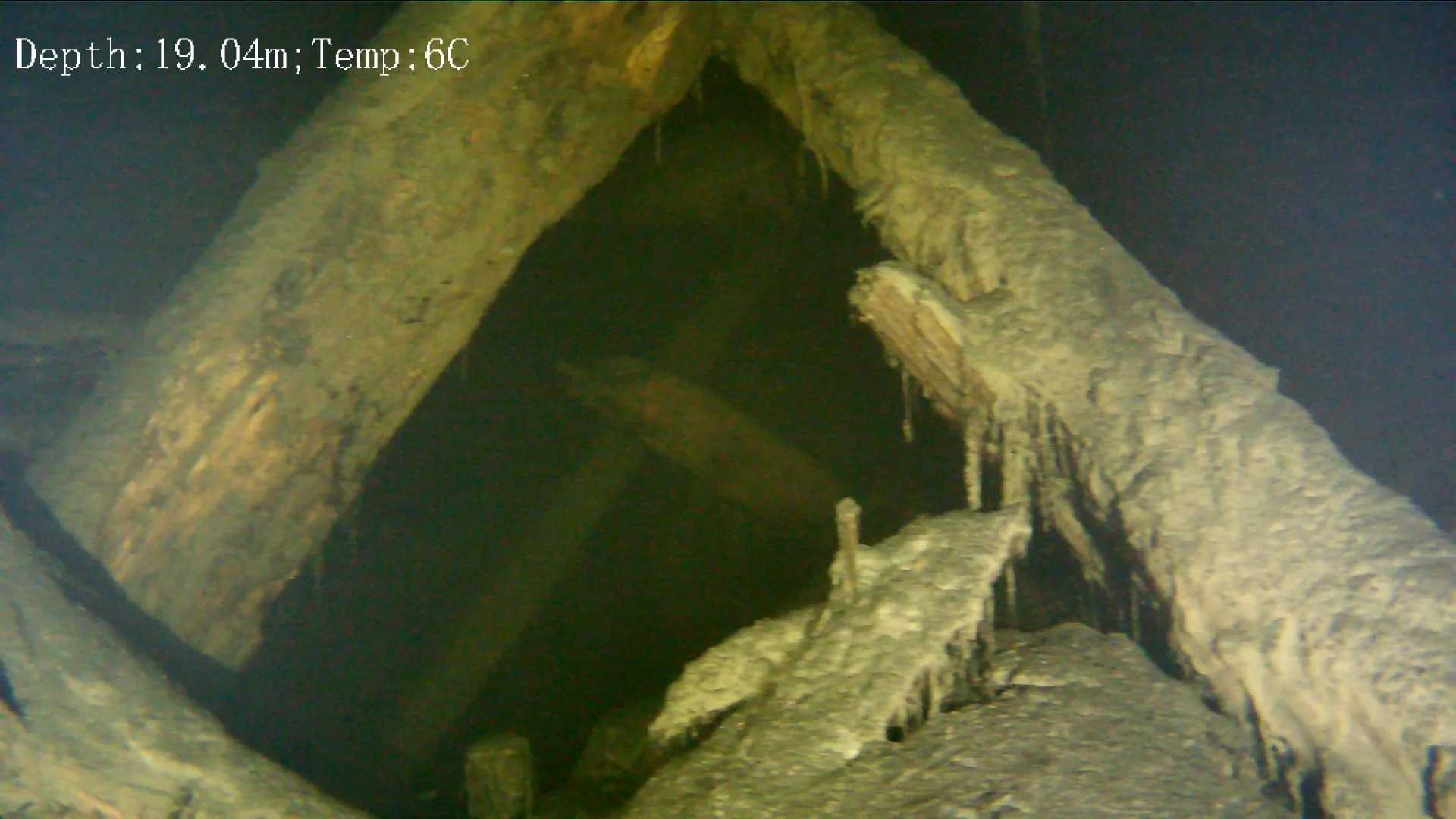
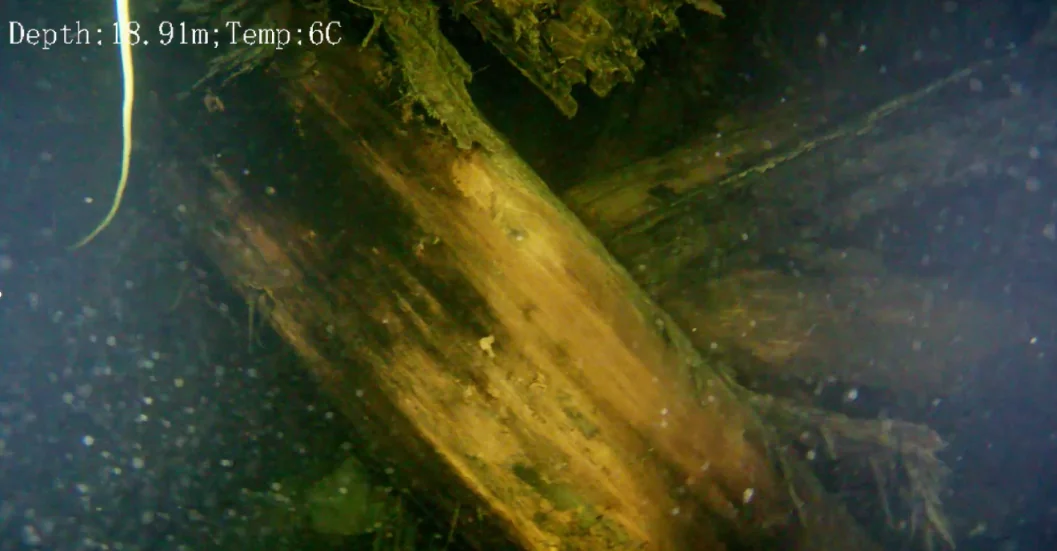
On the second visit, the team pushed farther into the flooded cut. Michael estimates that the ROV reached roughly 100 feet or more below the surface. They carefully worked around a large accumulation of broken timber. Some of it may have belonged to floors or platforms once spanning the workings; the footage establishes the wood’s presence, but its original arrangement remains an interpretation.
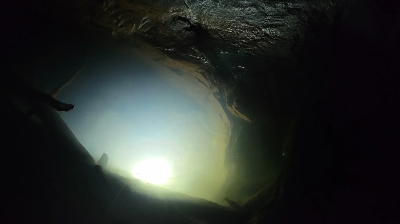
On the third visit, they followed one end of the mine farther than the extent indicated on the plan they had been using. At the opposite end, the camera also entered a short drift and found that it continued beyond what that plan suggested. This is a reason to survey the mine again, not yet a replacement map. They found few artifacts, but the scale and shape of the surviving workings proved more interesting than an object haul.
03 / The unfinished plan
A larger question than the map.
Outside the mine, Michael and Mike also noted ground features that might mark where horses worked a power mechanism for the operation. That explanation is provisional and needs to be tested against plans or other period records.
The three visits widened their understanding of Sunk Mine, but did not finish its survey. The ROV showed underwater timber, open space, and passages that deserve measured comparison with the historical drawings. The next useful discovery may be a more accurate outline of the mine itself.
Explore the ROV method →Sources & credits
Field account and images supplied by Michael Girard. Photographs by Michael Girard and Mike Sandone; underwater frames by Robo-Teddy. Exact visit dates have not been confirmed. See the image credits for individual attributions. The old plans informed the investigation but are not reproduced as a route guide. The mine is hazardous; this record does not provide access directions.
Historical context: James Kelly and Michael Turton, “Mining: A Journey Through Local History Underground,” The Highlands Current (2013) ↗. That article summarizes nineteenth-century mining, transport, and Edison’s venture. The field observations and interpretations above are Michael’s account, not claims drawn from that article.