Andover Mine · Sussex County, New Jersey
The Window
in the Rock
A flooded passage, a high opening in the mine face, and an old illustration that makes both worth another look.
Follow the investigation01 / The return
One flooded section changed the question.
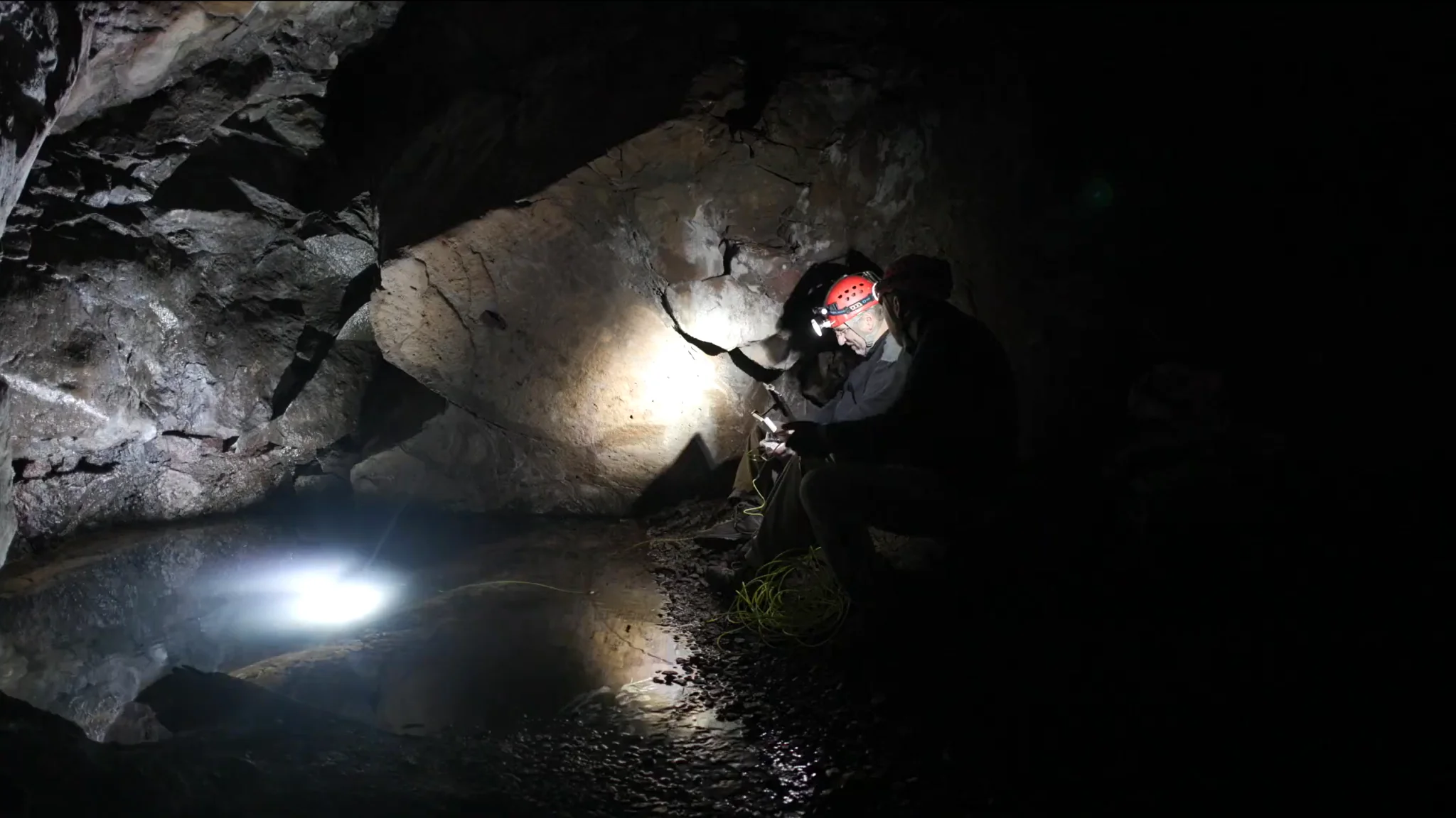
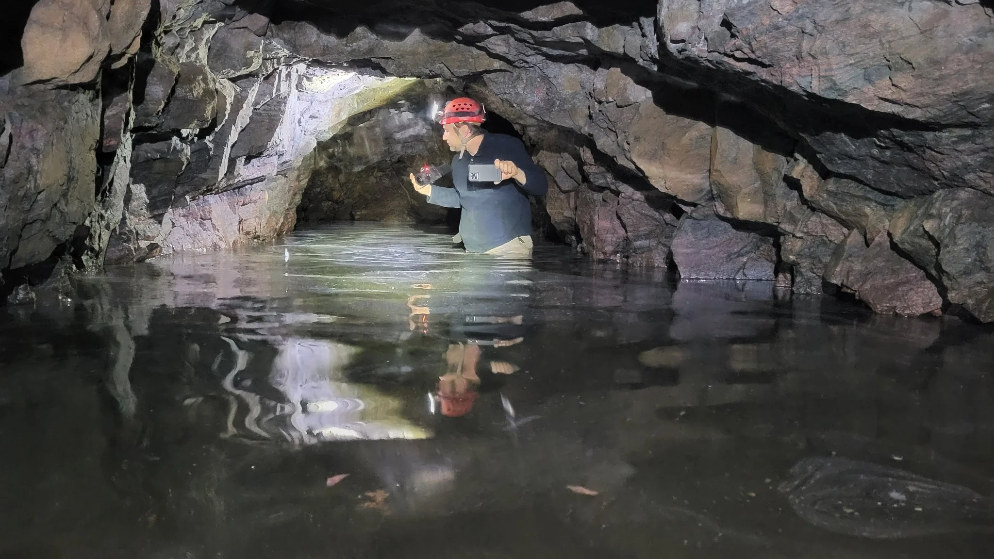
Mike Sandone had already visited Andover Mine. He had seen a flooded section in one of its adits and asked Michael Girard to return with him and bring an ROV.
That joint visit took in more than Andover. They also examined the nearby Tar Hill and Longcore workings and Sulphur Hill Mine, treating the district as a connected landscape of cuts, passages, and different kinds of ore. At Andover, the immediate task was narrower: find out where the water-filled passage went.
It was a single visit together, but it opened several lines of inquiry. The water could conceal a route through the mine. The rock face held openings at different levels. An illustration from the nineteenth century showed a busier industrial landscape in roughly the same area. Each source offered part of the picture; none by itself explained the whole arrangement.
02 / Beneath the water
A turn in the drift.
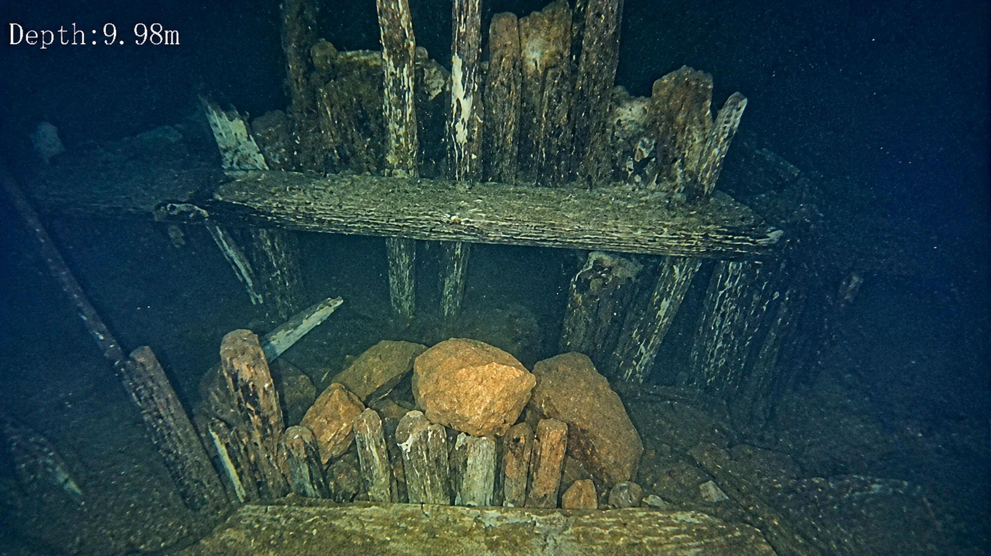
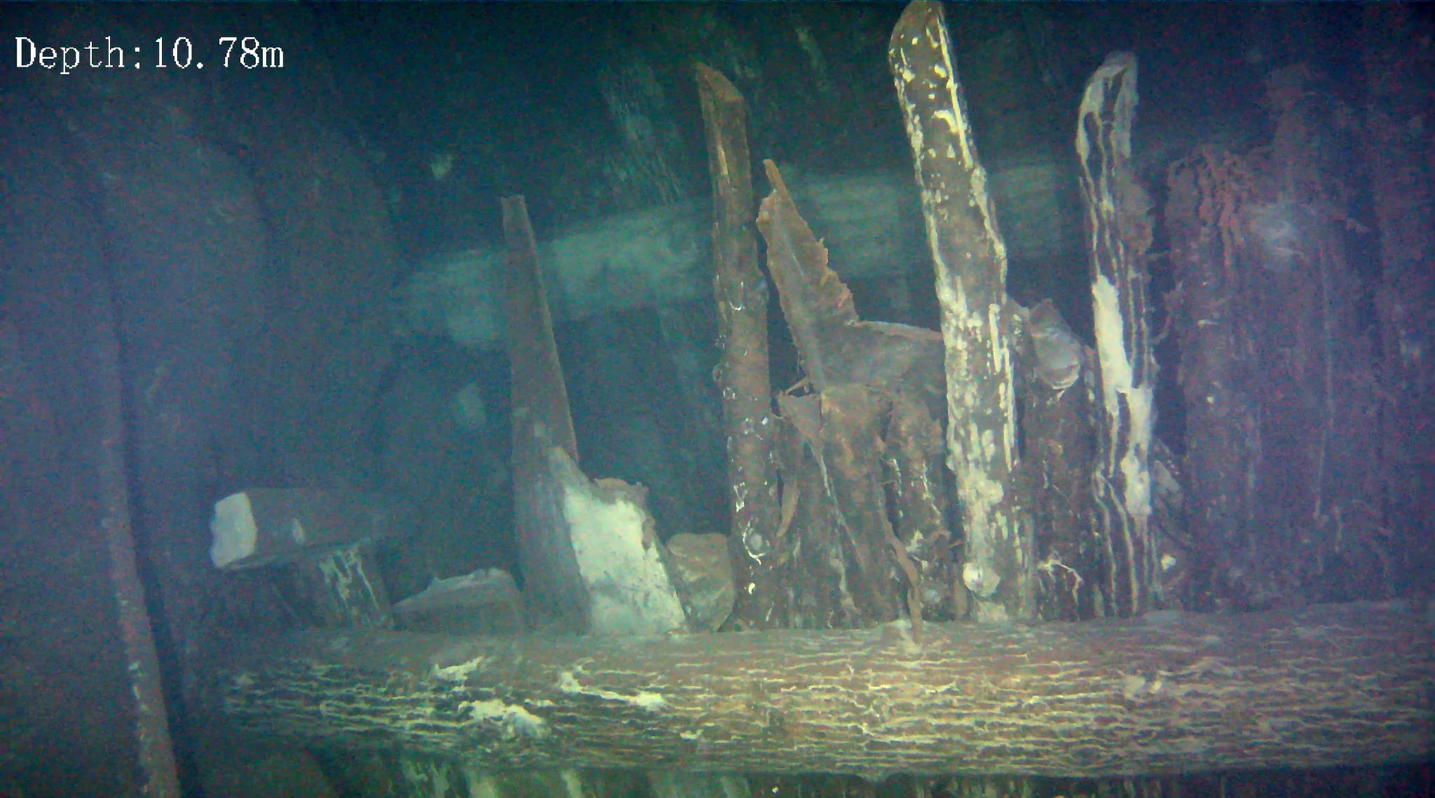
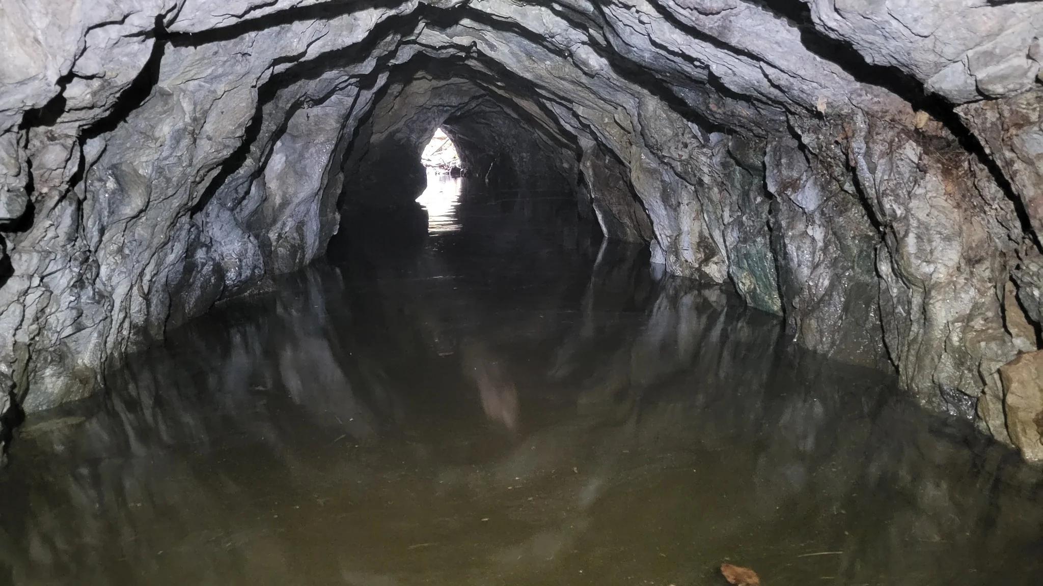
The team followed the flooded drift with the ROV. In Michael’s reading of the route, it belonged to a drift associated with the surface cuts. It made a right-angle turn and connected with an inner adit. That connection changed the flooded section from a dead end into part of a larger working plan.
The camera also recorded timber and rock structures below the waterline. Michael suspects that some may be a form of gobbing (material placed in worked-out space) and that a former drift entrance may have been closed as access shifted. The images establish that the structures are there. Their purpose and the sequence in which they were built remain interpretations, not settled findings.
03 / The window
An opening above the mine face.
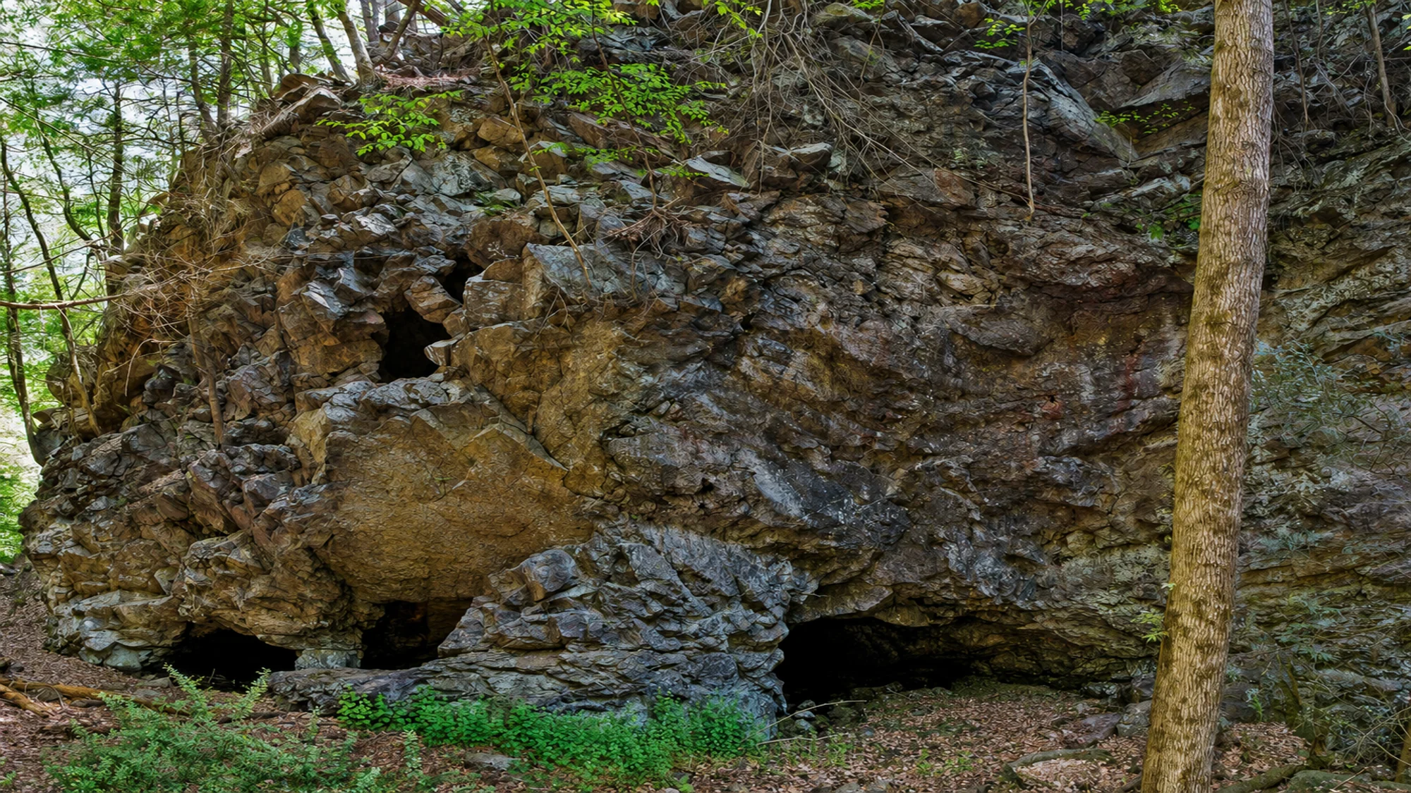
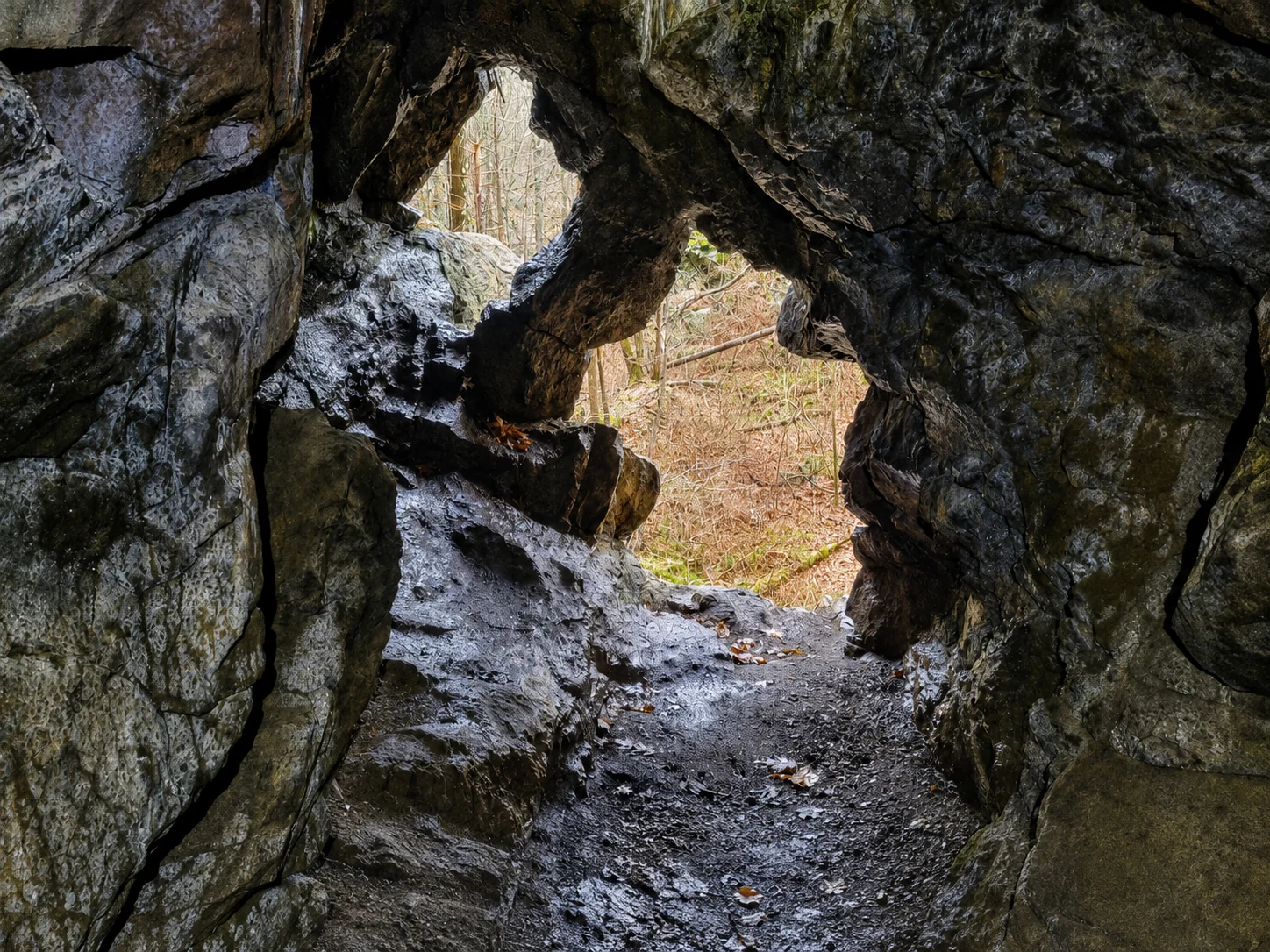
Elsewhere in the adits, a rising passage led to an opening high in the rock face. Michael calls it the “window.” The team examined it closely. Lower on the face, they also noted a cut or indentation and other exterior structures.
These features invite a practical question: how were people and ore moving through this part of the mine at different stages of its use? The upper opening and lower cut are visible. A precise account of what each was built for has yet to be established.
04 / The older image
The rock face in another century.
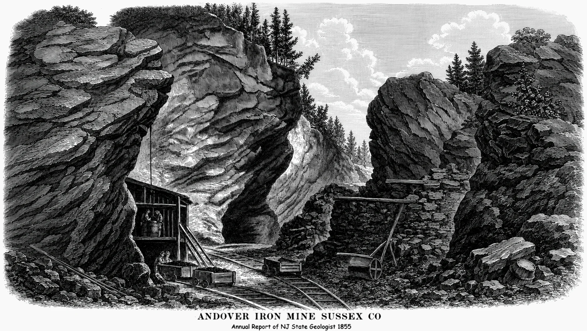
An 1855 woodcut of Andover Iron Mine, reproduced in the 1952 New Jersey Geological Survey Bulletin 62, portrays the cuts, tracks, carts, and built structures of a working mine. It offers a rare way to compare the present face with an earlier view.
Michael sees a structure in the illustration near the area of the lower indentation, beneath the upper opening. It is a useful clue, though matching every feature in an artist’s rendering to a surviving cut in the rock requires caution. The drawing helps frame the question; it does not date or identify the present structures on its own.
05 / The district
Why these neighboring mines differed.
Andover’s history extends back before the American Revolution. The 1952 survey, drawing on William S. Bayley’s earlier history, records that Continental Congress took possession of the mine during the war to supply iron and steel. The mine was reopened in 1847 and worked into the 1860s. That documented history gives the visit its larger setting, but it does not assign a Revolutionary-era date to the particular flooded drift or window.
At Sulphur Hill, Mike and Michael found the haulage tunnel. It made the neighboring operation tangible, and raised another question: why had this mine’s fortunes differed from Andover’s? The geological survey describes different ore bodies in the district and says Sulphur Hill was apparently abandoned because its ore carried too much sulfur. Tar Hill and Longcore belonged to the wider magnetite-sulfide district; Andover was the major hematite-producing mine.
The day ended with a clearer physical route through the flooded section and a longer list of historical questions. The most honest account holds both together: what the camera recorded, what the old sources document, and what still needs to be tested against the rock.
Sources & field record
Following the evidence.
This account combines Michael Girard’s recollection of the single joint visit with Mike Sandone, supplied field photographs and ROV frames, and published mining history. The proposed function of the submerged structures and upper window remains open.
- New Jersey Geological Survey, abandoned mine map archive ↗, which includes Andover and Sulphur Hill maps and identifies Bulletin 62.
- William S. Bayley, Iron Mines and Mining in New Jersey (1910) ↗
- P. K. Sims and B. F. Leonard, Geology of the Andover Mining District, Sussex County, New Jersey, Bulletin 62 (1952); source of the reproduced 1855 illustration.
Beyond this mine
Where the water changes the map.
See how Michael uses underwater vehicles to explore flooded caves and abandoned workings.
Explore Beyond the Sump →