Historical leads
Return to field notes, maps, and unfinished searches left by earlier explorers, including Carroll's reported marble caves.
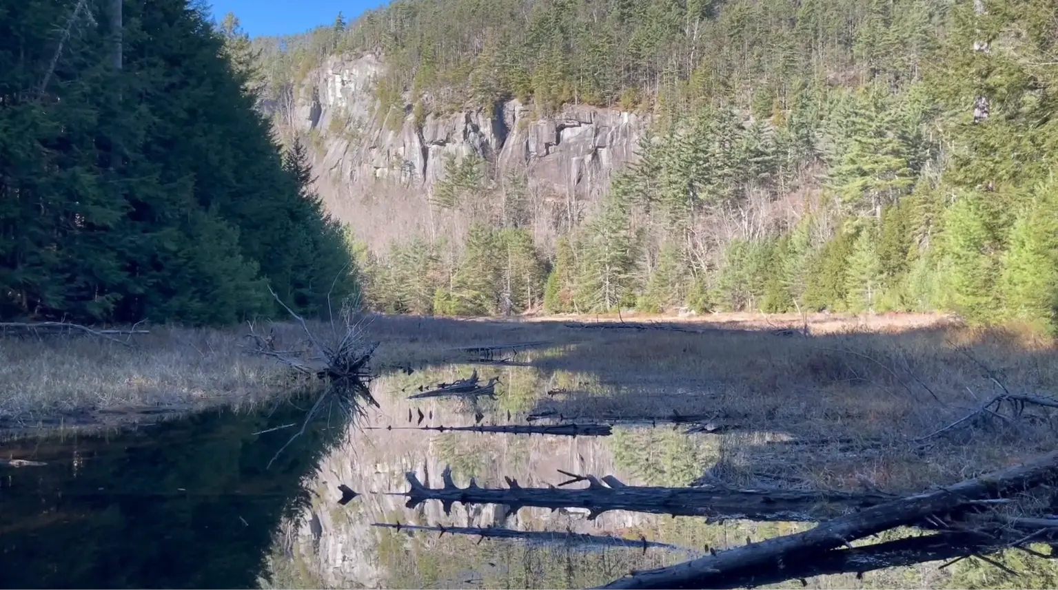
Expedition file 02 · Adirondack Mountains
Old field notes. Marble country. Thousands of square miles in which a cave can remain close, and still remain unseen.
01 · The first search
The Adirondack Park is usually imagined upward: summits, ridgelines, fire towers, and distant horizons. Our question faced the other direction. What remained beneath it?
The first expedition was intentionally modest: a few days of hiking and a single night on the mountain. We began along the outer edge of the region with two old leads: a cave near the Devil's Washdish and an unexplained mark near Thunderbolt Mountain.
Neither came with coordinates. One survived in the field notes of explorer Robert Carroll. The other appeared on a map associated with Russell Gurnee. Together they offered just enough information to begin walking.
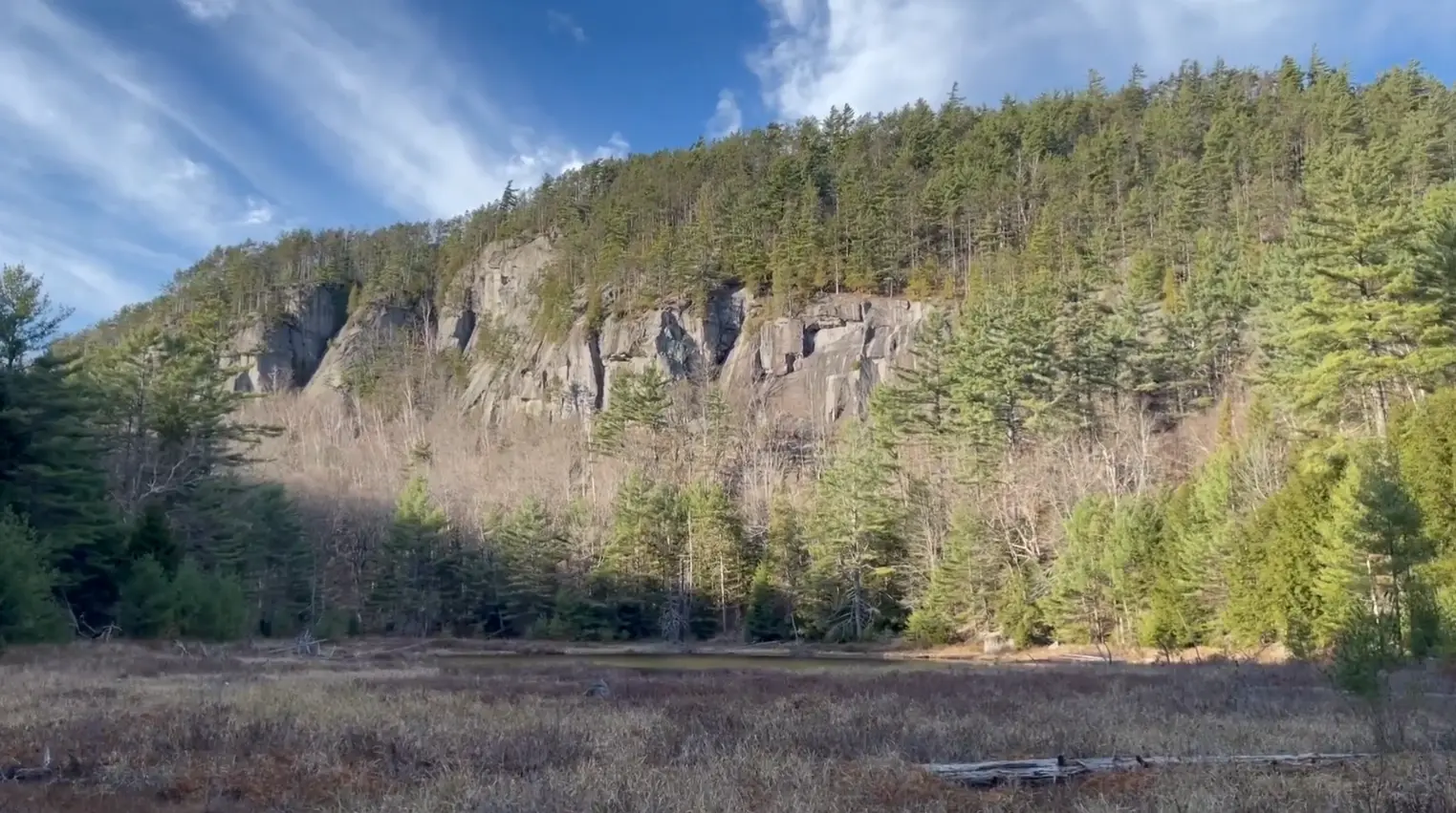
02 · Carroll's notes
Old field notes preserve a particular kind of knowledge: precise in places, ambiguous in others, and inseparable from the person who moved through the landscape before you.
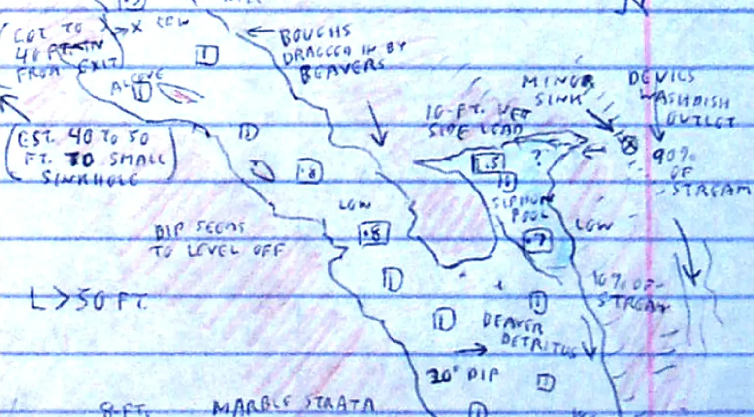
Carroll's sketch recorded sinks, ledges, marble strata, and a cave near the outlet. It was not a modern survey. It did something more useful: it showed how an experienced explorer had interpreted the terrain.
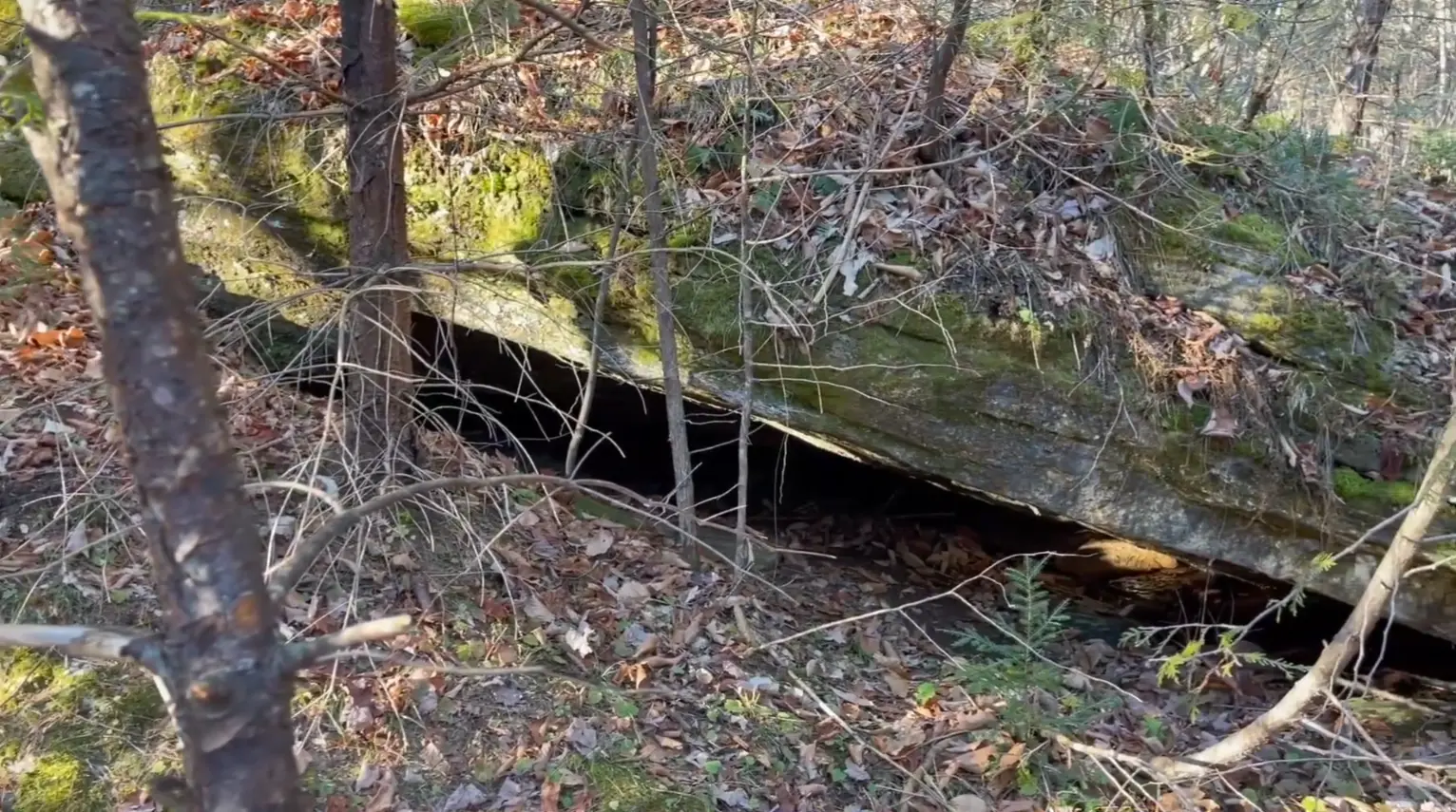
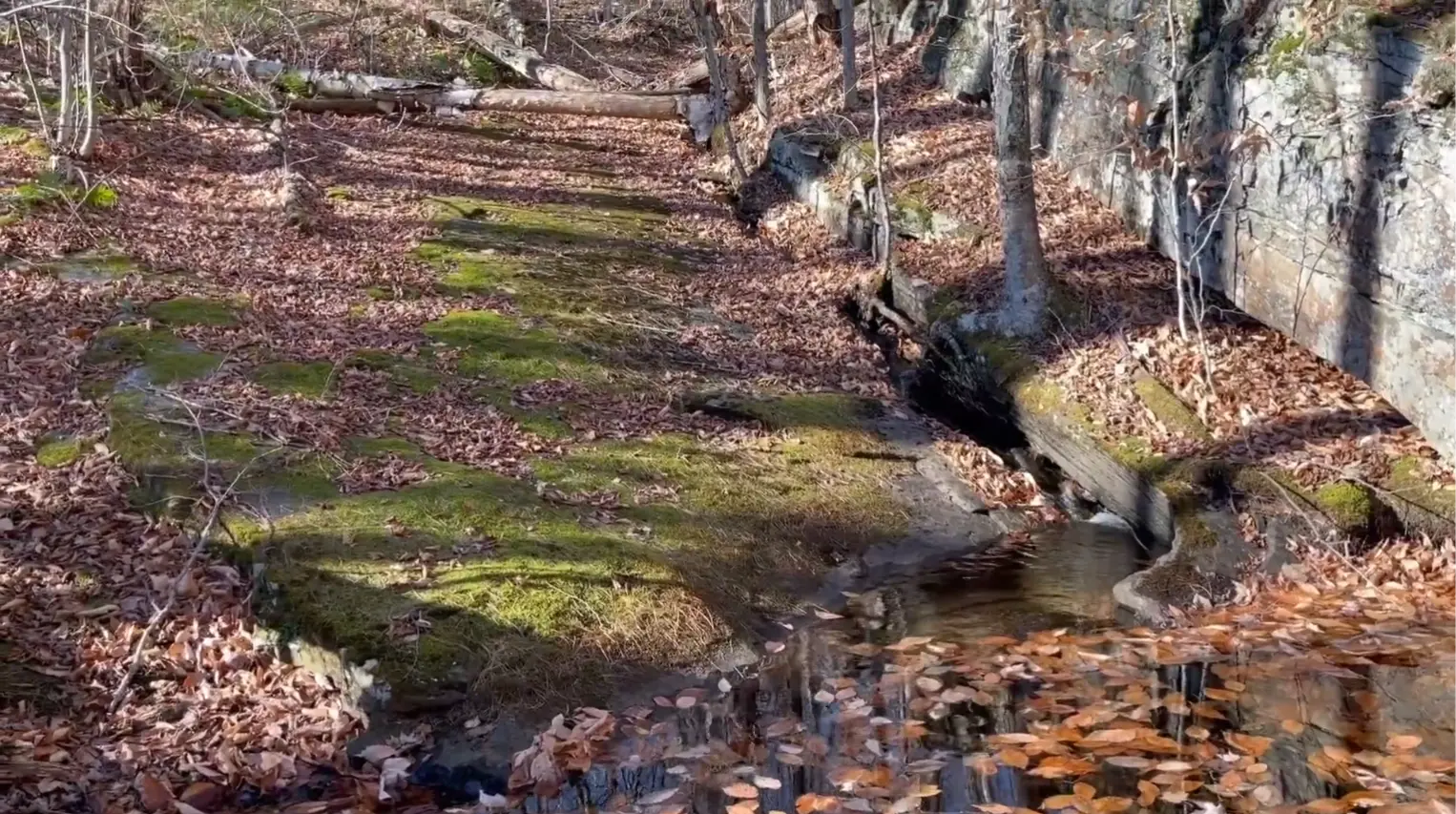
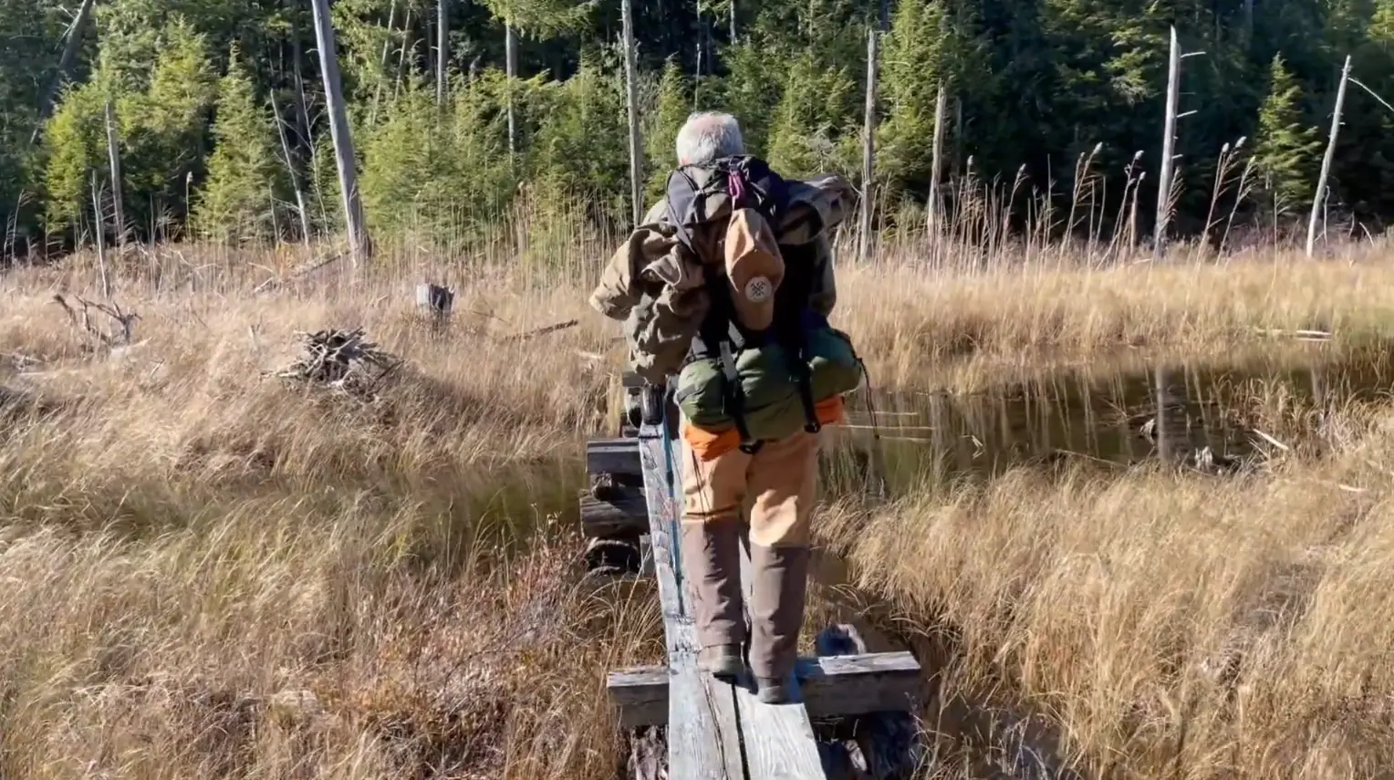
Our route crossed forest, wet ground, and broken relief before the entrance finally resolved itself from the surrounding rock.
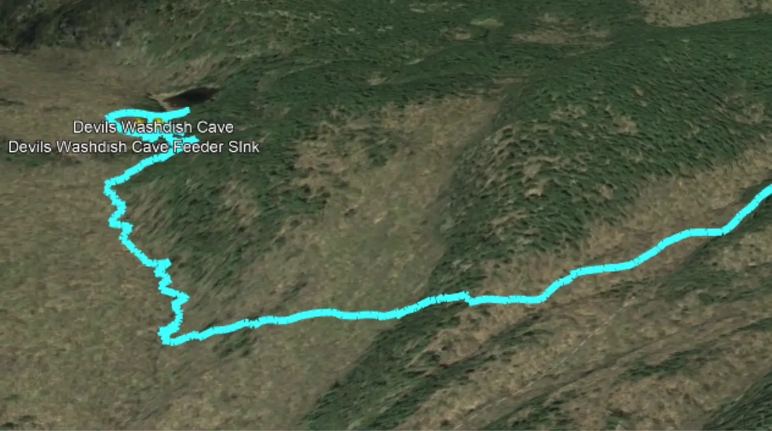
03 · The Washdish
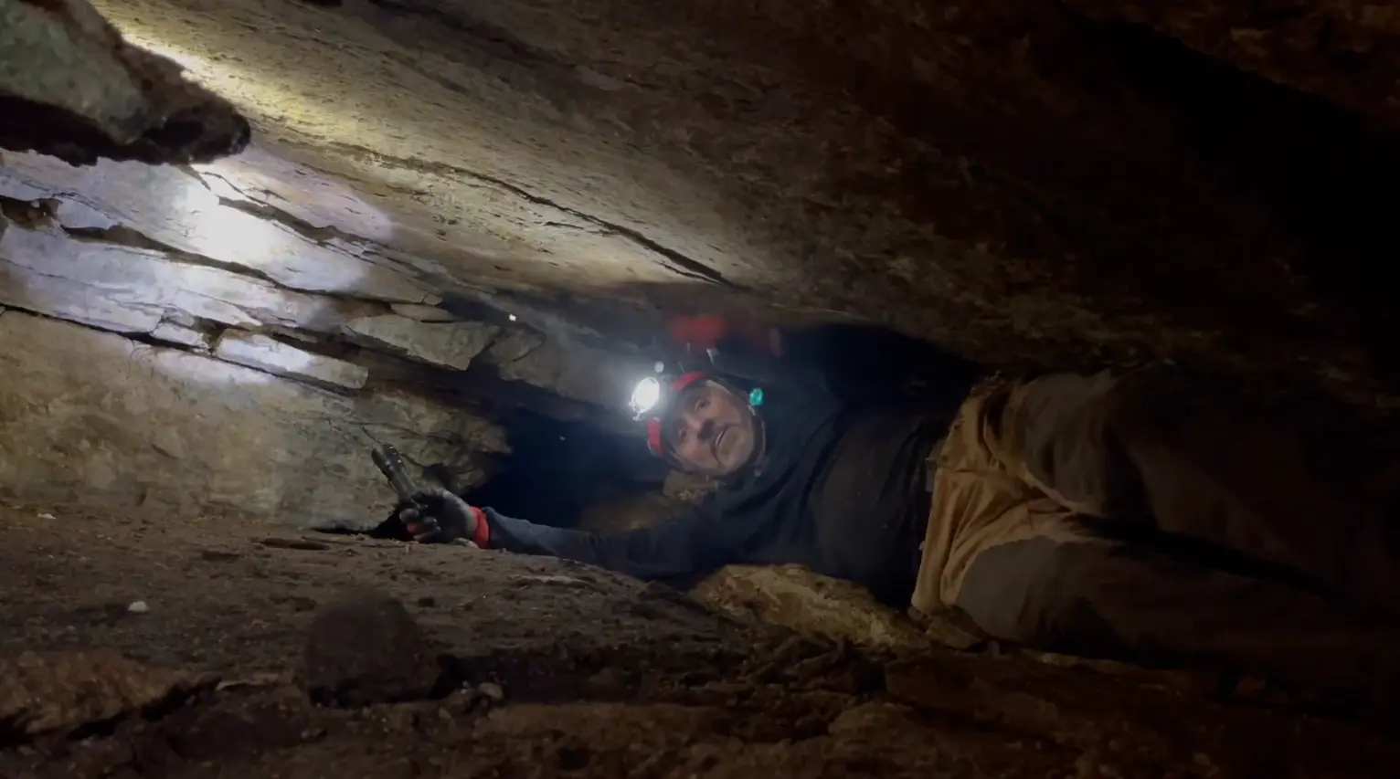
Small, low, and partly obscured, Devil's Washdish Cave did not announce itself from the trail. The search succeeded because the landscape, the old notes, and the geology finally agreed.
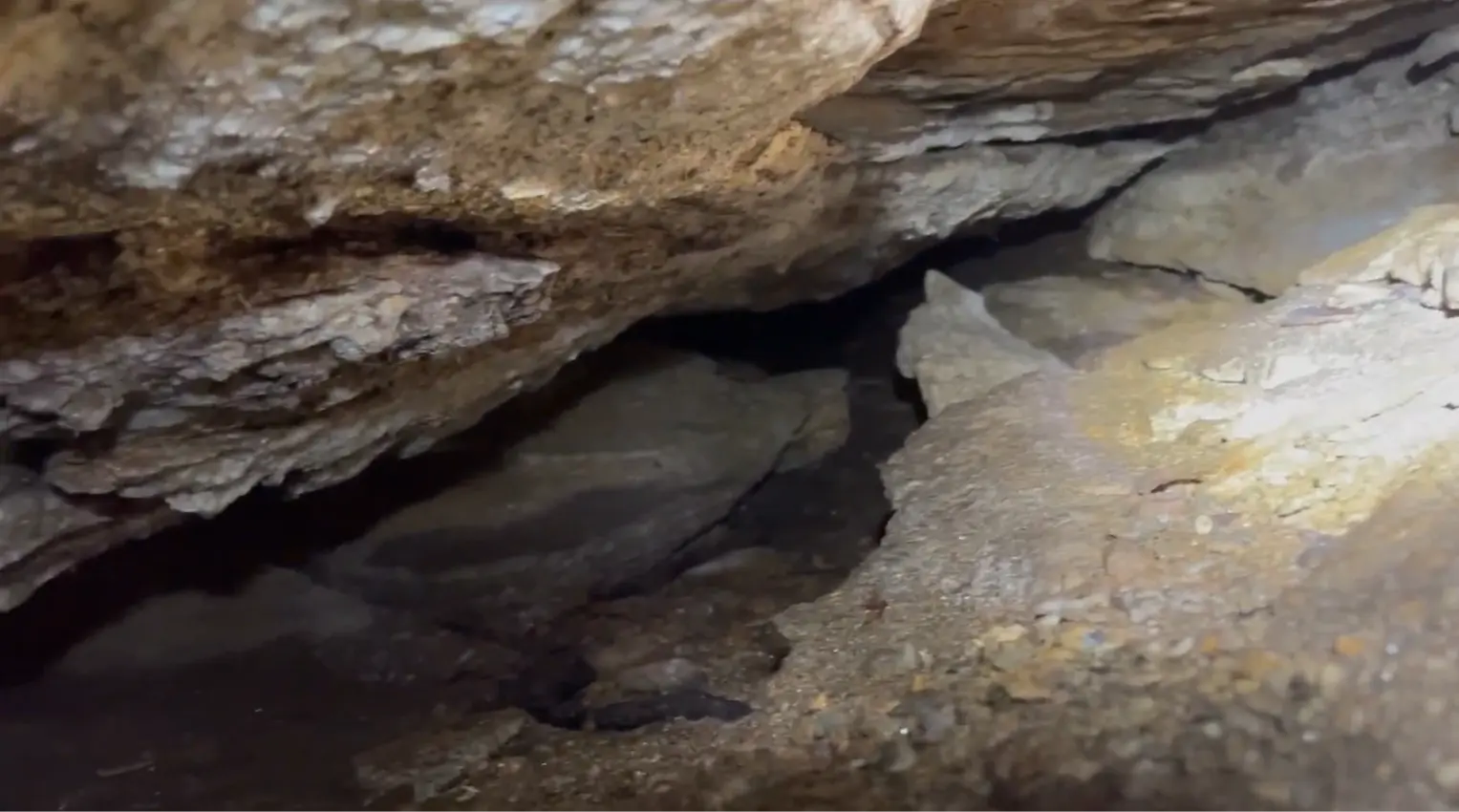
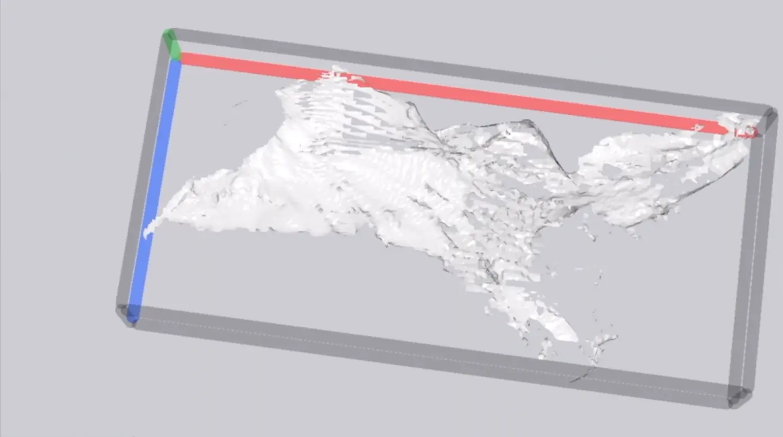
Inside, the passage narrowed quickly. We documented what could be reached and produced a LiDAR record of the cave. It turned an inherited clue into a measured place that could be compared, revisited, and understood more carefully.
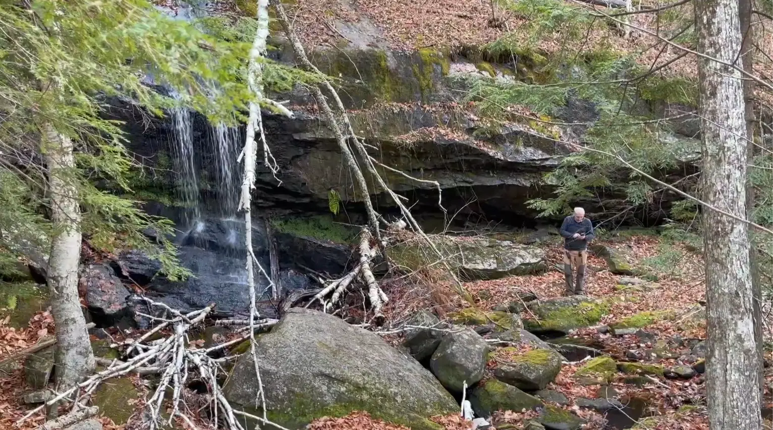
Found between the objectivesAn undocumented waterfall, one of the places the map did not ask us to find.
04 · Thunderbolt Mountain
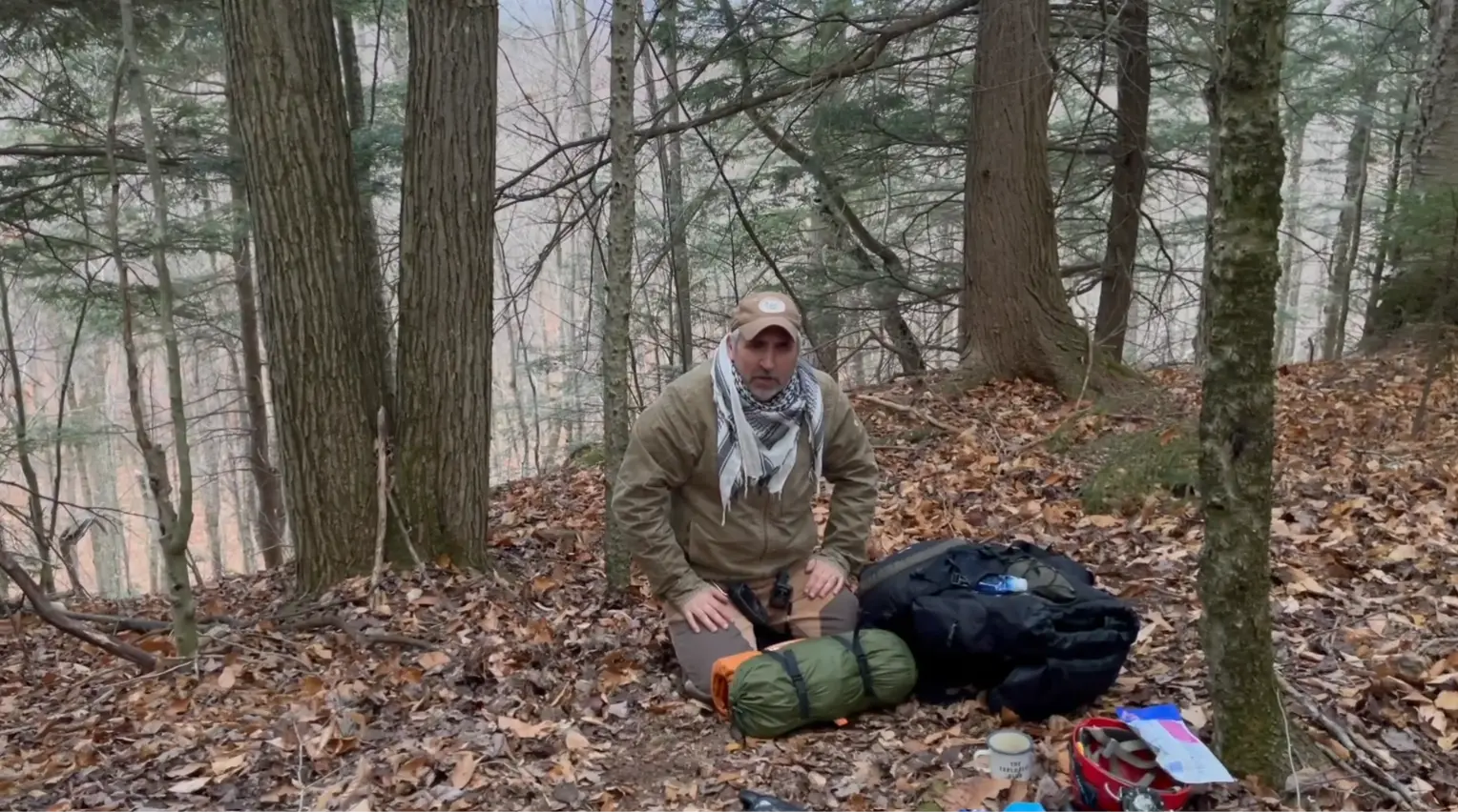
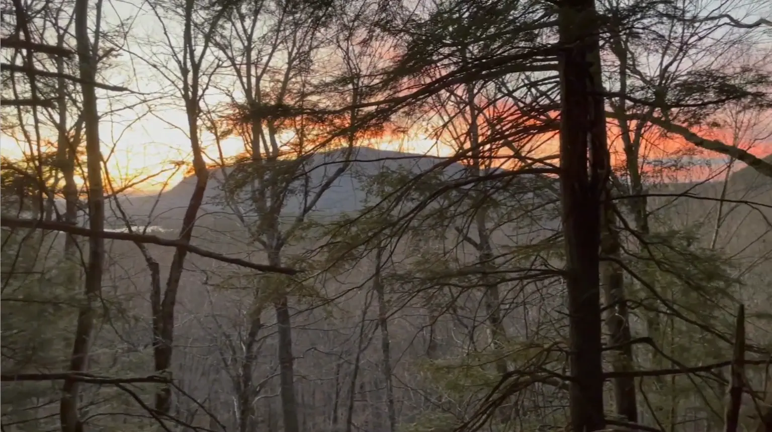
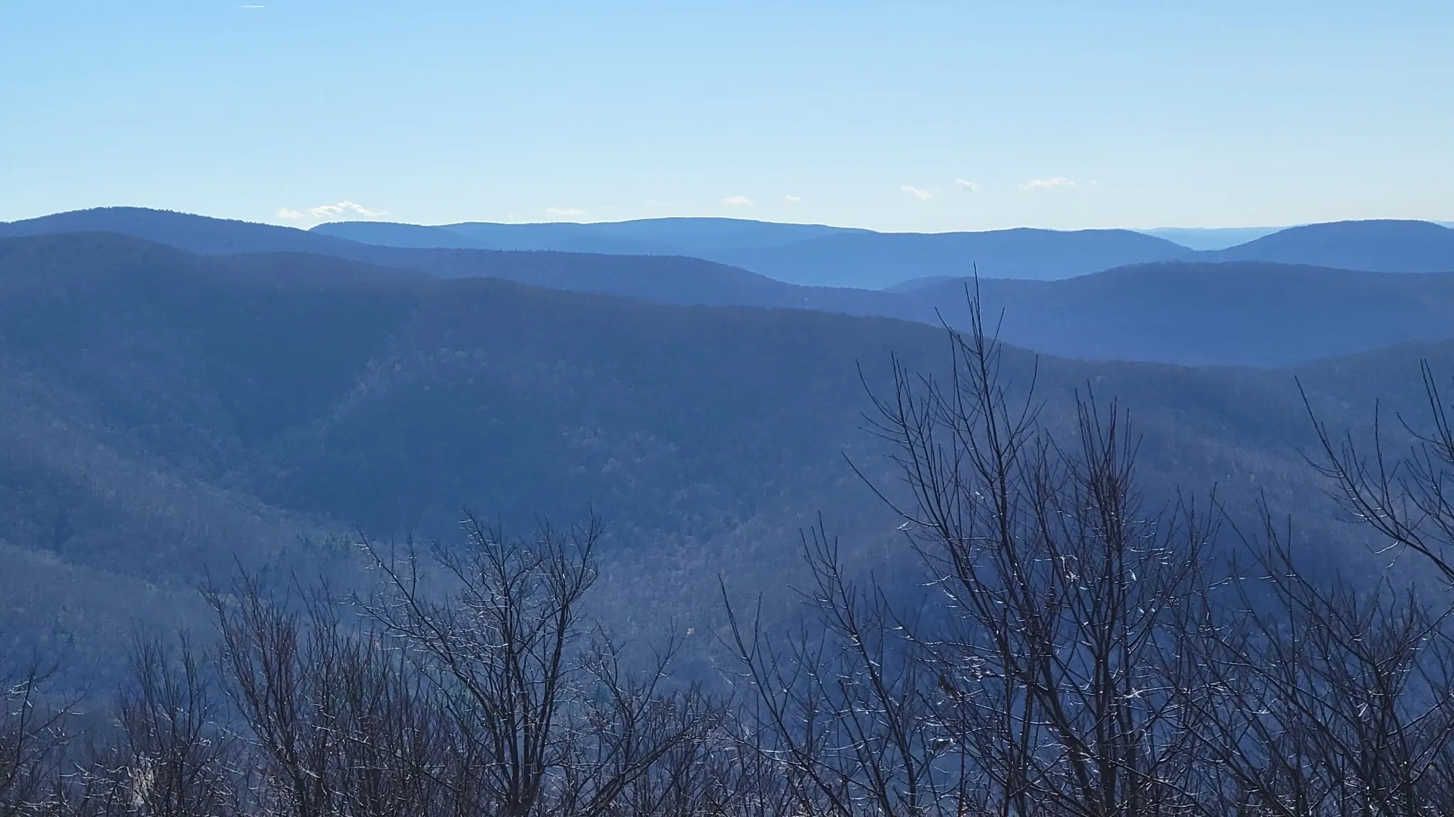
By late afternoon we had climbed only a third of the way. We made camp as the light dropped behind Pharaoh Mountain and continued upward the following morning.
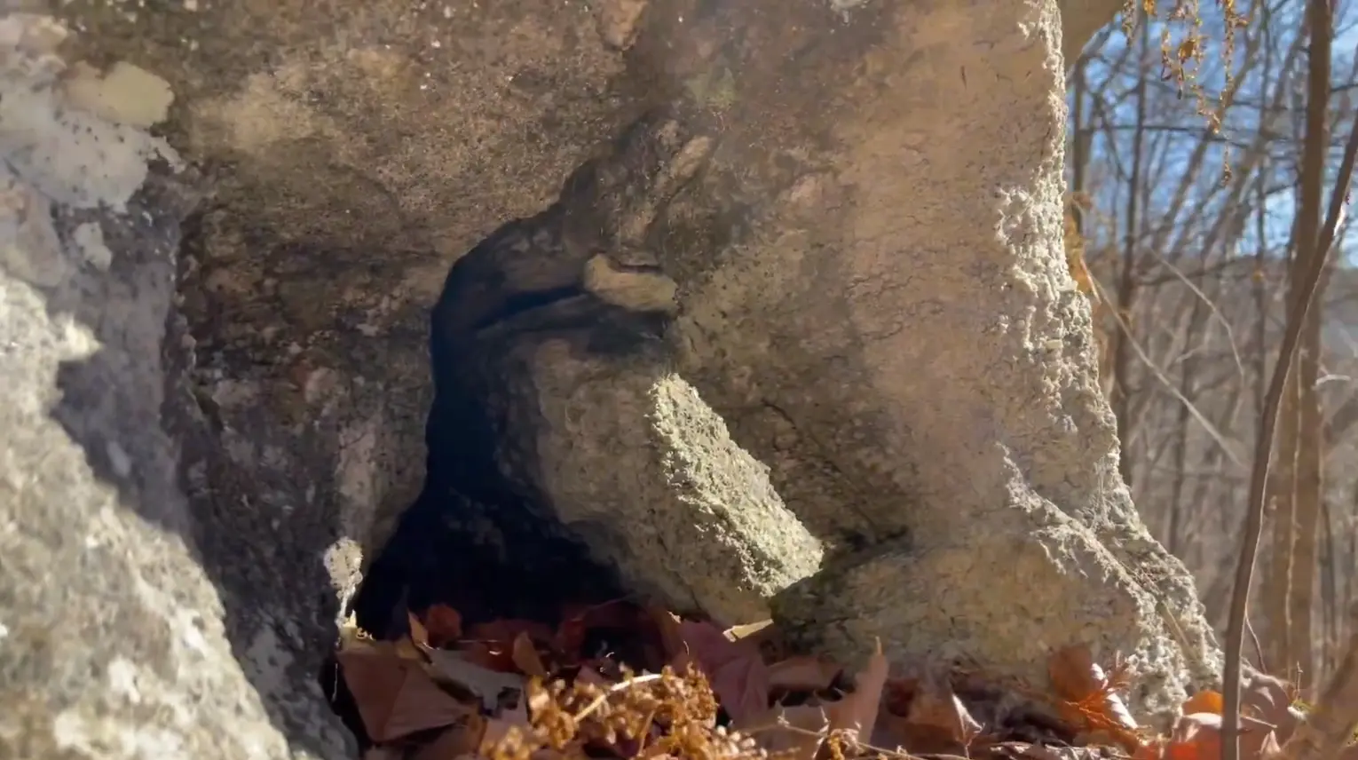
Near the marked location, a dark opening seemed to appear in the rock. From a distance it had the proportions of an entrance. Up close, it became only a shallow niche.
Exploration does not promise a discovery. It promises that the question will be tested.
The field film
Produced by Mike Sandone, the film follows the first expedition from Carroll's notes to the Washdish and onward toward Thunderbolt Mountain.
Film by Mike Sandone · Released November 2022
05 · The project ahead
The long-term Adirondack caves project will connect historical leads with geology, field observation, mapping, and hydrology, building a record one verified place at a time.
Return to field notes, maps, and unfinished searches left by earlier explorers, including Carroll's reported marble caves.
Document calcitic marble, fractured rock, stream loss, and pseudokarst without assuming that every opening becomes a cave.
Create photographs, scans, route notes, and observations that future work can compare rather than rediscover.
An investigation in progress
The work continues through old records, new observations, and patient returns to a landscape that rarely gives up its structure all at once.